Welcome to our Community
Wanting to join the rest of our members? Feel free to sign up today.
Sign up

Anyone using their Anafi for mapping?

I am also interested in this aspect... 3d modelling of structures inside and out. Anyone doing this? I see that the Anafi Work bundle comes with a 1 year subscription to software to do it...
 
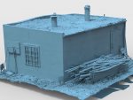
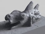
There are some people having success with 3D modeling.
All these were done with the Anafi and posted on the Anafi facebook page.

1703

1704

1705
 
I am using the Anafi on the building site with the Agisoft now. I think it is good for smaller objects also.
Képernyőkép – 2019-03-23 20-35-28.pngKépernyőkép – 2019-03-23 20-35-37.pngKépernyőkép – 2019-03-29 07-23-21.pngKépernyőkép – 2019-03-29 18-35-56.png
 

Attachments

  • Képernyőkép – 2019-03-29 21-51-04.png
    Képernyőkép – 2019-03-29 21-51-04.png
    728.1 KB · Views: 60
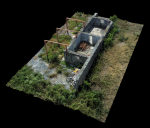
I do mapping as commercial pilot : conservation of historic monuments, rehabilitation of ancient dwellings, follow-up of modern constructions... I also have a Yunnec H520 but finally just use and prefer Anafi to do so. Very easy to use and quite good results and accuraccy (with or without GCPs).
The 2 first images from PIX4D Mapper (point cloud) and the last one from Agisoft Metashape (mesh and texture).
173377CA-E26B-44CD-8588-A6AC9616DD92.pngE7F7A79E-B880-4784-B1EF-755BF012DA9F.png102C72E9-6AD2-4865-933E-19B8A1B214BF.png
Have also a look at thisThread
 
Last edited:
  • Like
Reactions: BGabor and zandoli
Thanks guys... Going out to buy my Anafi right now.
The bundle you talk about (Anafi Works) is a good option for 3D models only.
Bundle that I missed because I bought the Anafi before it was released... In this condition, Pix4DModel is almost free for a year ?.
 
Last edited:
The bundle you talk about (Anafi Works) is a good option for 3D models only.
Bundle that I missed because I bought the Anafi before it was released... In this condition, Pix4DModel is almost free for a year ?.
Why do you say 3D models only. Can't it also be used to produce orthophoto?
 
Pix4D makes beautiful ortho photos also. Not sure if it is necessary but we took photos with the camera straight down and lots of overlap. Extend your photo coverage well outside your area of interest to avoid any distortion along the edges. Pix4D isn't cheap but it is excellent.

Cheers,
Bud
 
@Miningnew What did you use to create that, look pretty good..... Not that I am into mapping (yet), but always interested in knowing what people use.
 
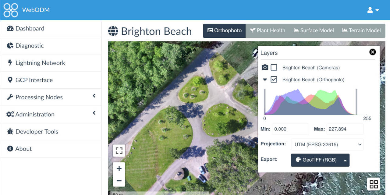
also came across this Open Source application that does Ortho - Modeling and much more:

 
I use a Parrot Anafi Work with Pix 4D Model. It works great with Pix 4D Capture app and I use the Desktop version of Pix 4D Model. The 2D Ortho Map was made with Drone Deploy though since I had access to it for a little bit.

This is a a 2D Ortho of beach erosion in a section of beach in Atlantic City, New Jersey. It has a GSD of .40inches. Unfortunately no GCPs! With some Aeropoints I could get the absolute accuracy on this in the inches level.

View attachment Beach Erosion.jpg


This is a snip of a Fly through of a 3D Model of the Beach Erosion
BeachErosionVideoSnip.JPG
 
Tengo exactamente el mismo problema, al parecer no es compatible el firmware 1.7._ con Pix4D, según está sana lanzarán la corrección por parte de Parrot. Hay que estar al pendiente y la pregunta general es como volver a versiones anteriores de firmware?
 

New Posts

Members online

No members online now.

Forum statistics

Threads
5,294
Messages
45,048
Members
7,964
Latest member
edamame