Thank you all for your input!
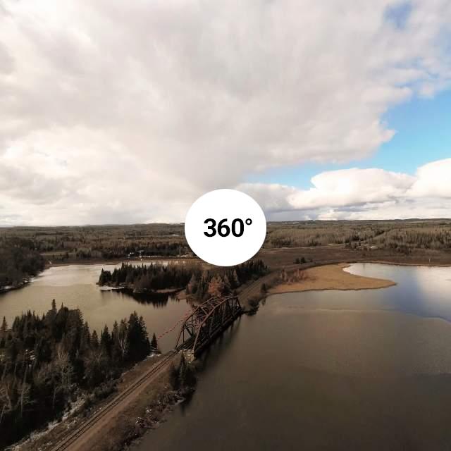
For testing purposes I calibrated the drone and shot the same panorama six times at 30m height, and then four times another one at 100m height. All panos were shot starting facing the same spot on the ground.
Since freeflight produced panos with wrong horizons, I processed the files with ms ice on my computer (resized to 50% because file size upload limitation):
#1 @30m
View attachment P1261463_stitch_resized.jpg
#2 @30m
View attachment P1271505_stitch_resized.jpg
#3 @30m
View attachment P1281547_stitch_resized.jpg
#4 @30m
View attachment P1291589_stitch_resized.jpg
#5 @30m
View attachment P1301631_stitch_resized.jpg
#6 @30m
View attachment P1311673_stitch_resized.jpg
#7 @100m
View attachment P1321715_stitch_resized.jpg
#8 @100m
View attachment P1331757_stitch_resized.jpg
#9 @100m
View attachment P1341799_stitch_resized.jpg
#10 @100m
View attachment P1351841_stitch_resized.jpg
source files: anafi-pano-photos.zip
One thing I noticed, when switching from video to photo shoot, the view is no more stabilized. This is most likely because the whole sensor is used to take pictures and for video digital stabilization is used.
Last edited: